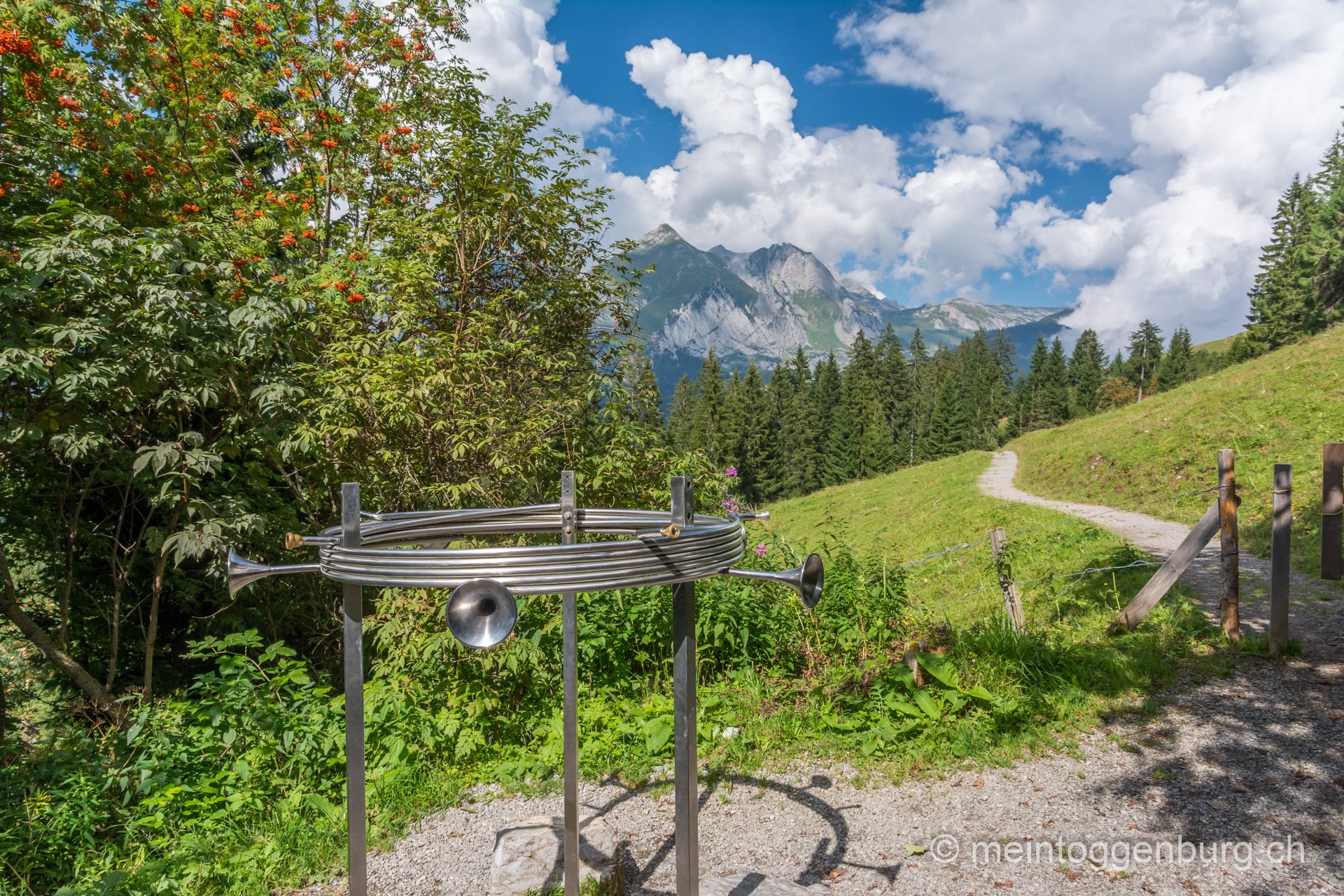
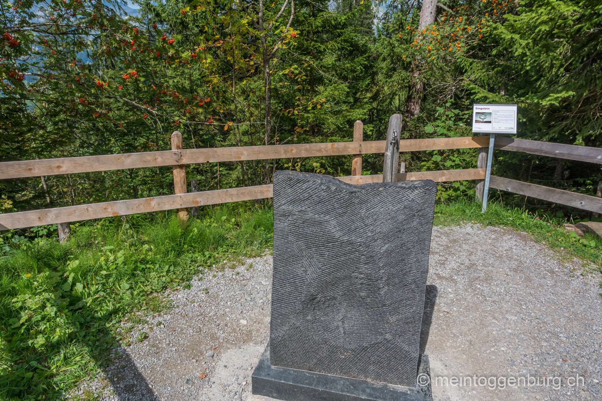
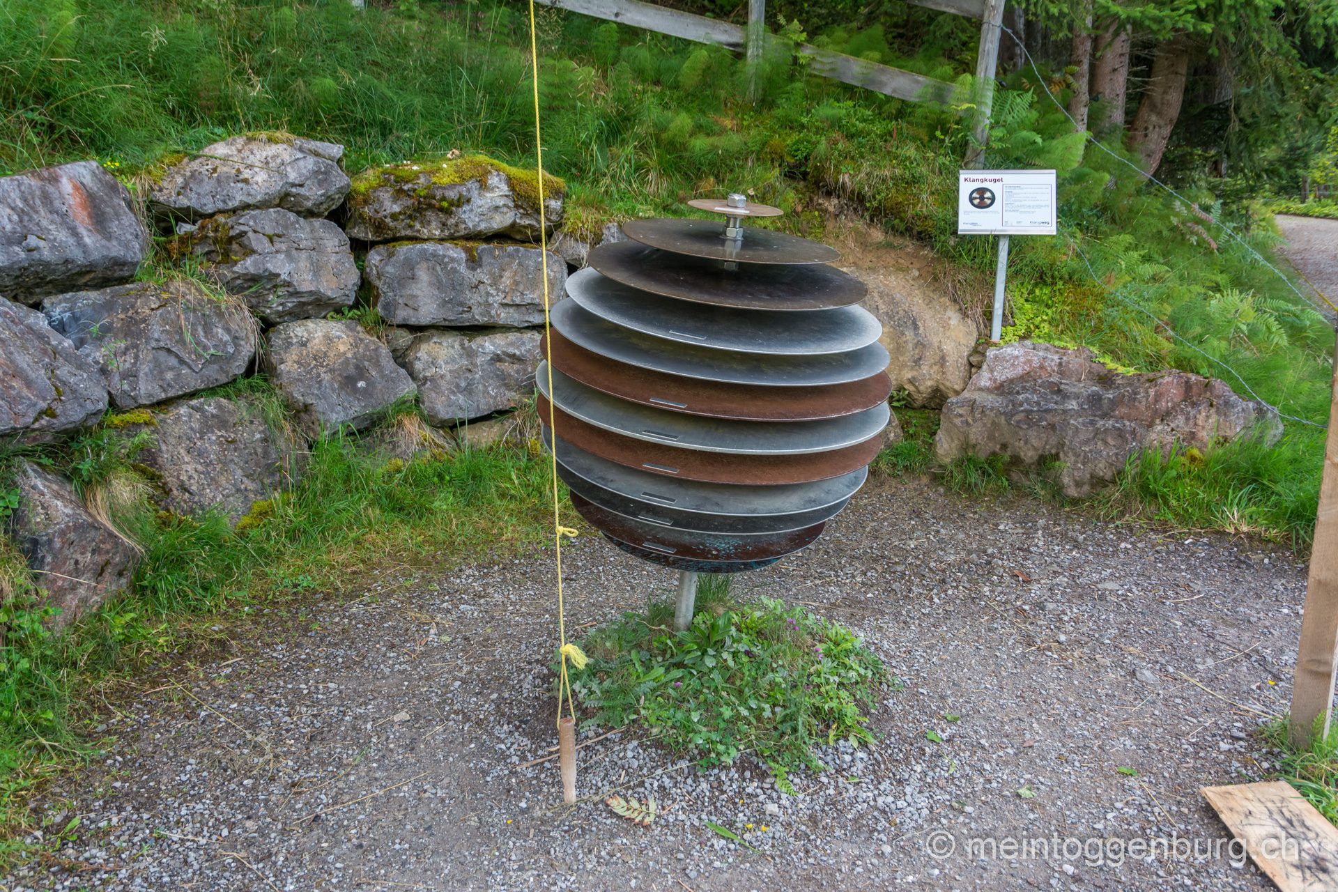
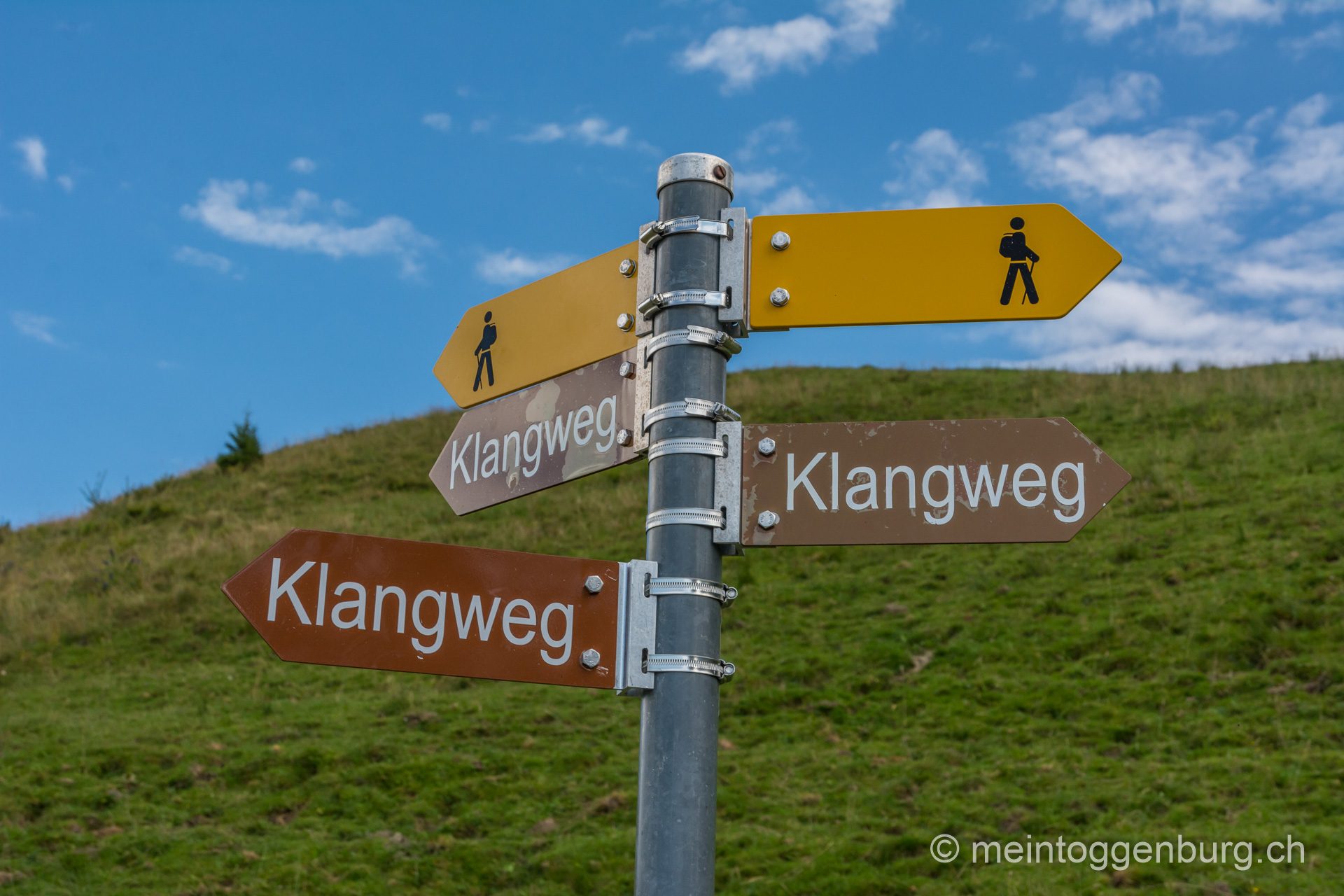
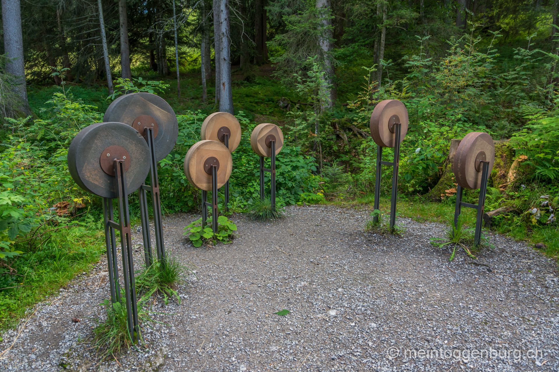
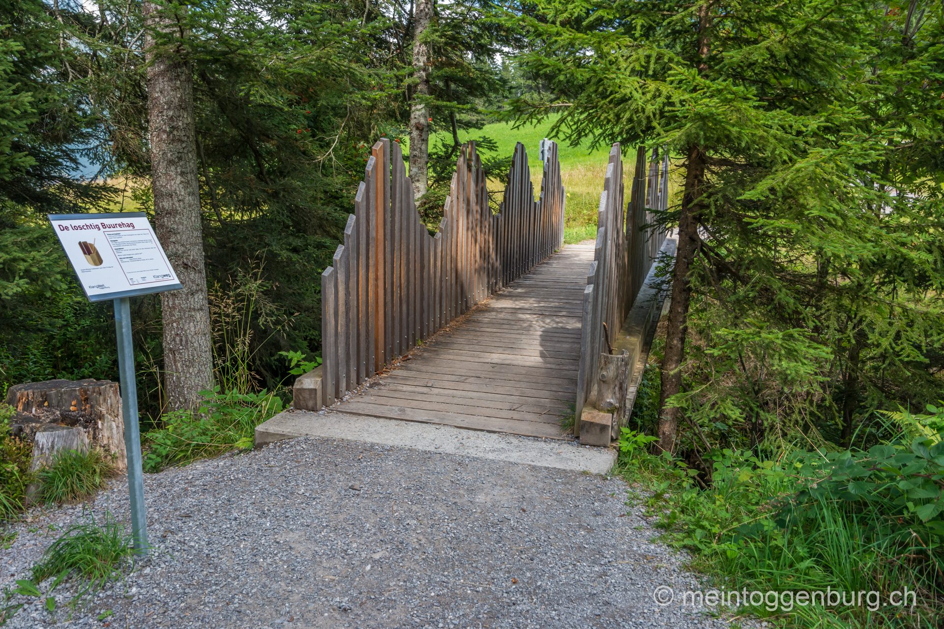
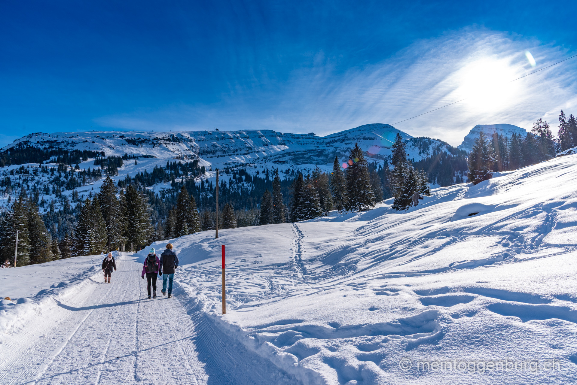
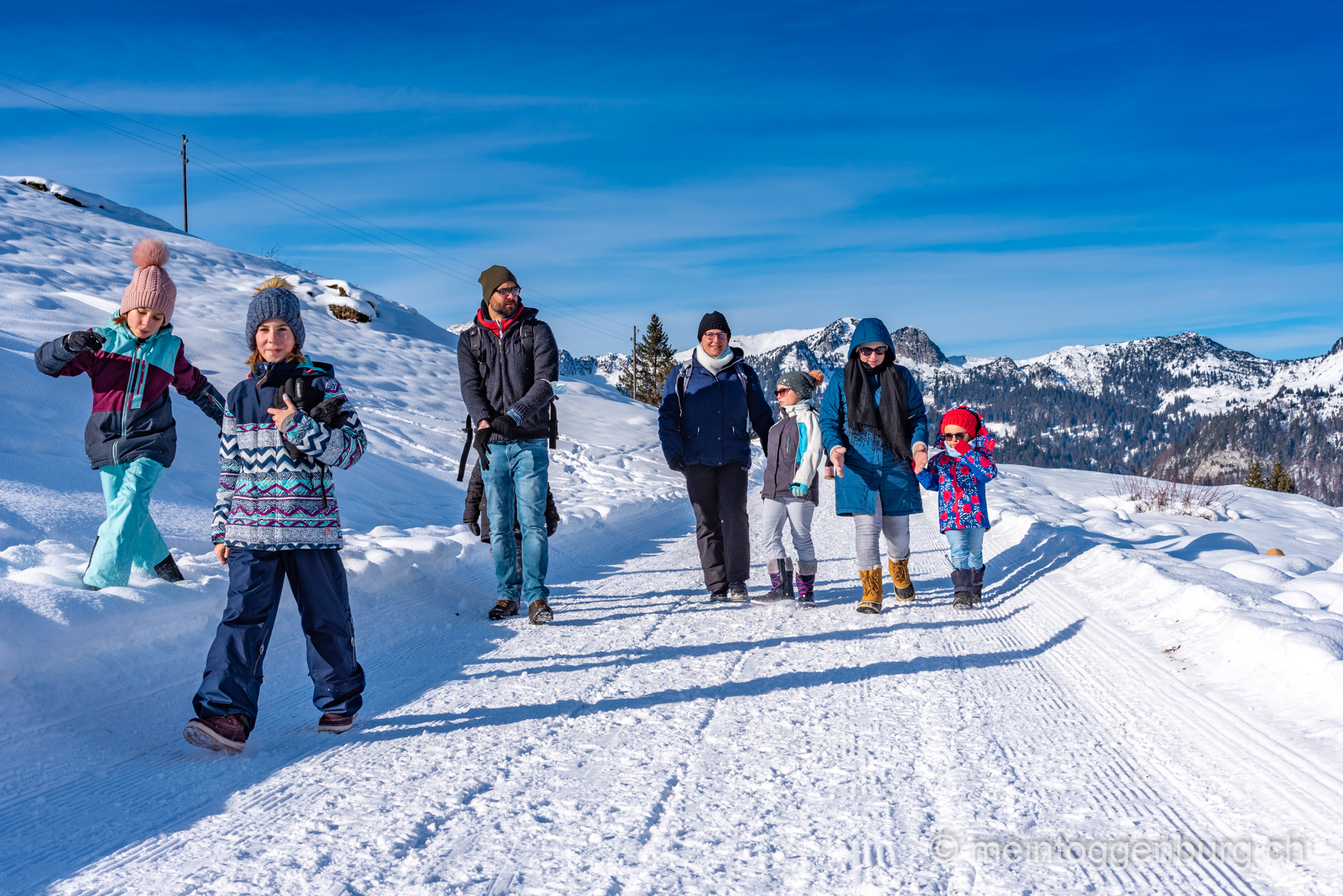
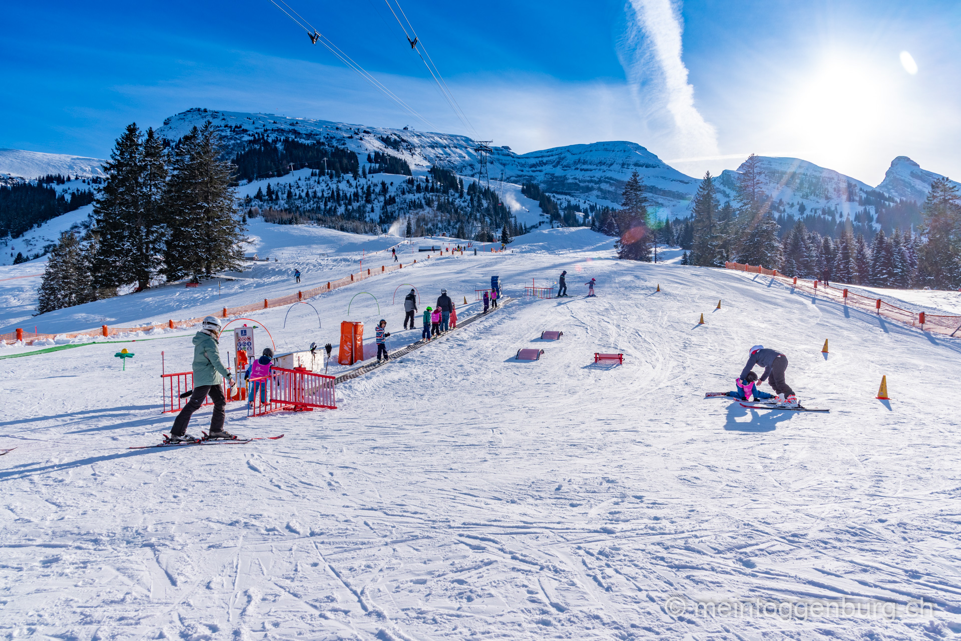
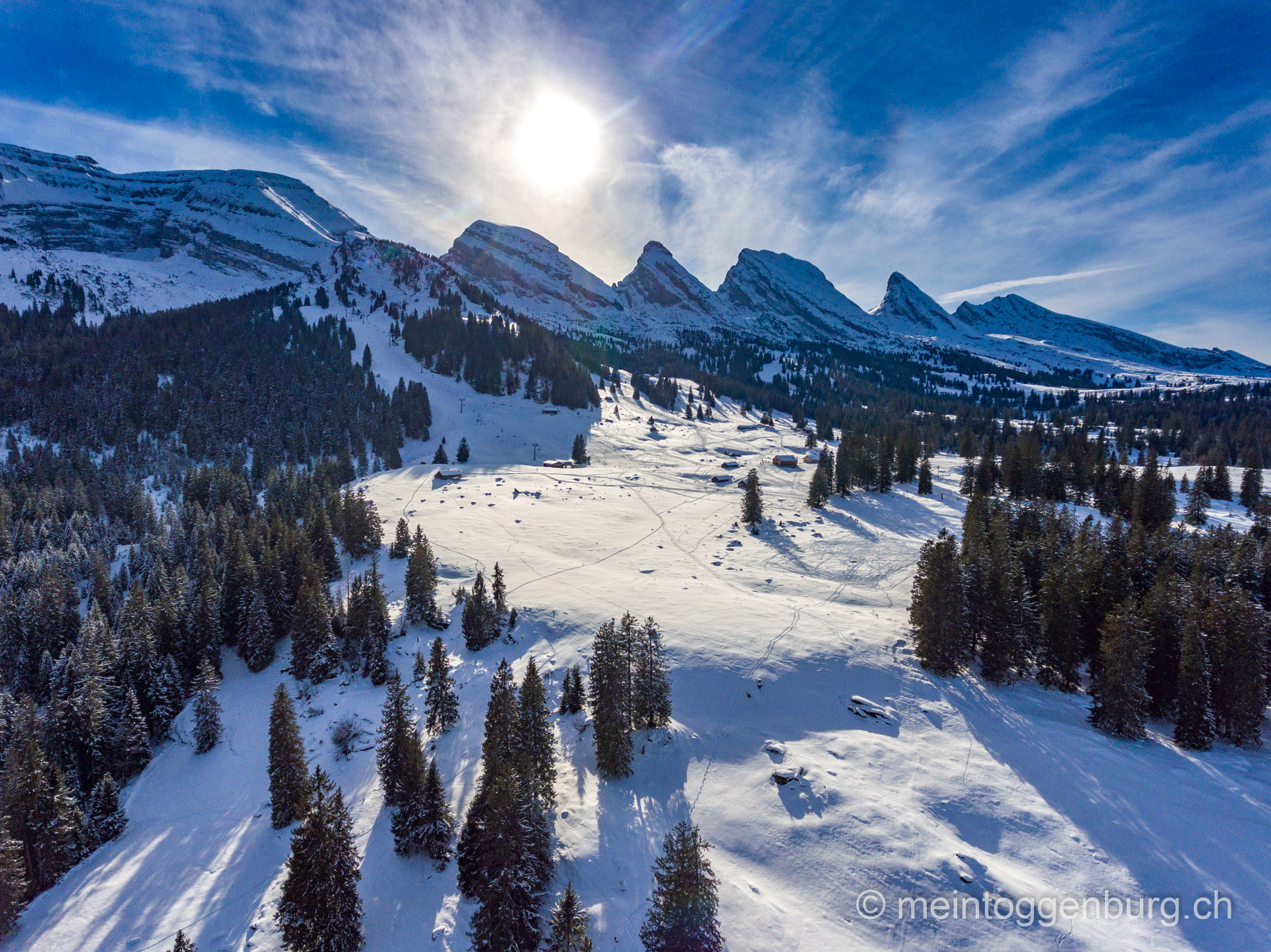
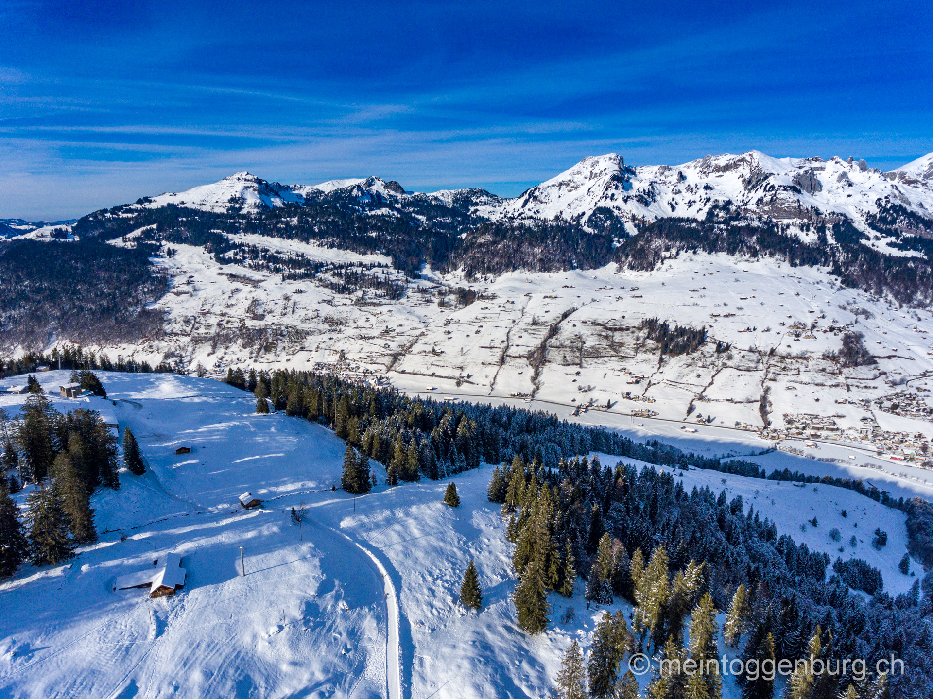
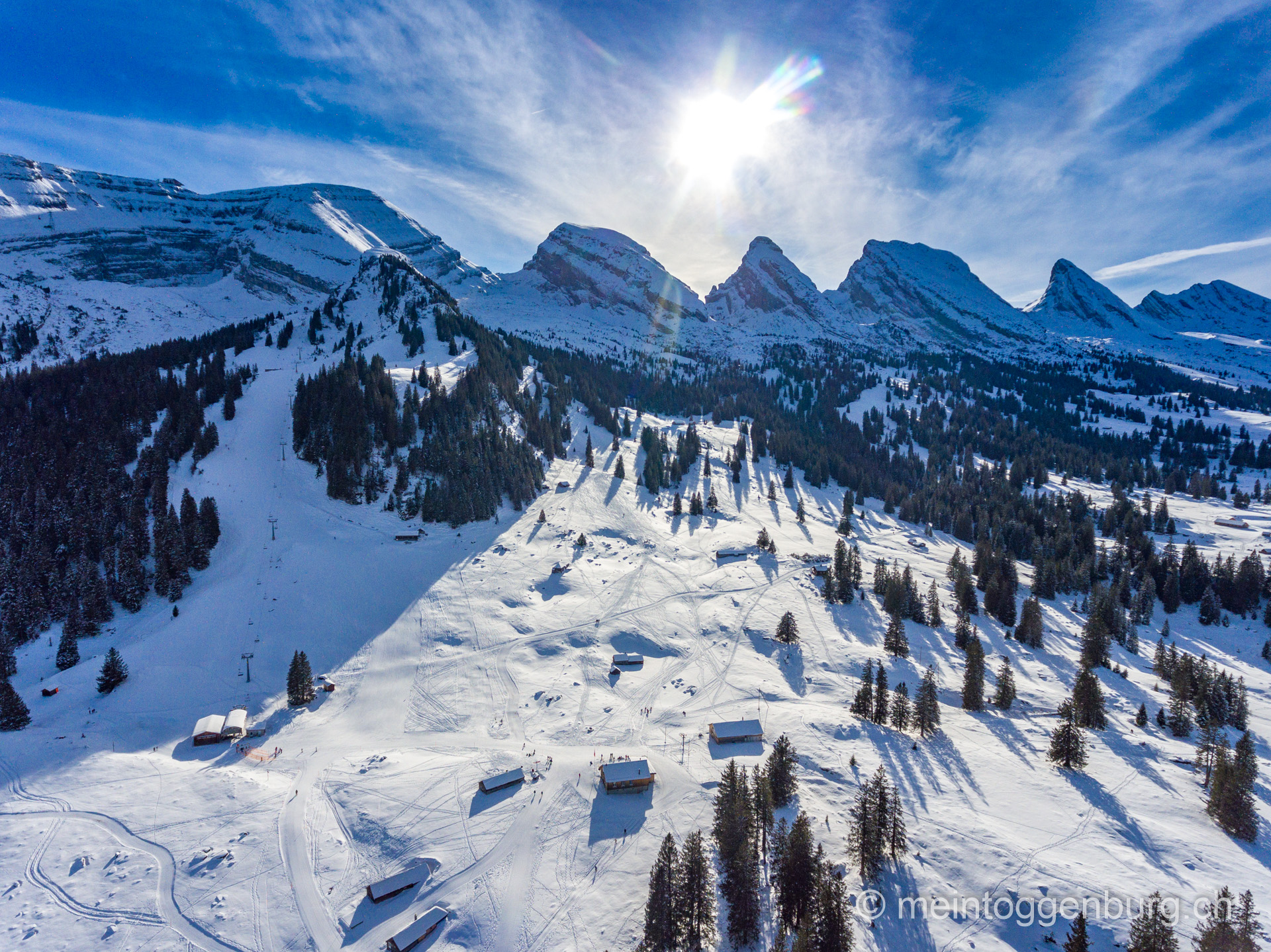
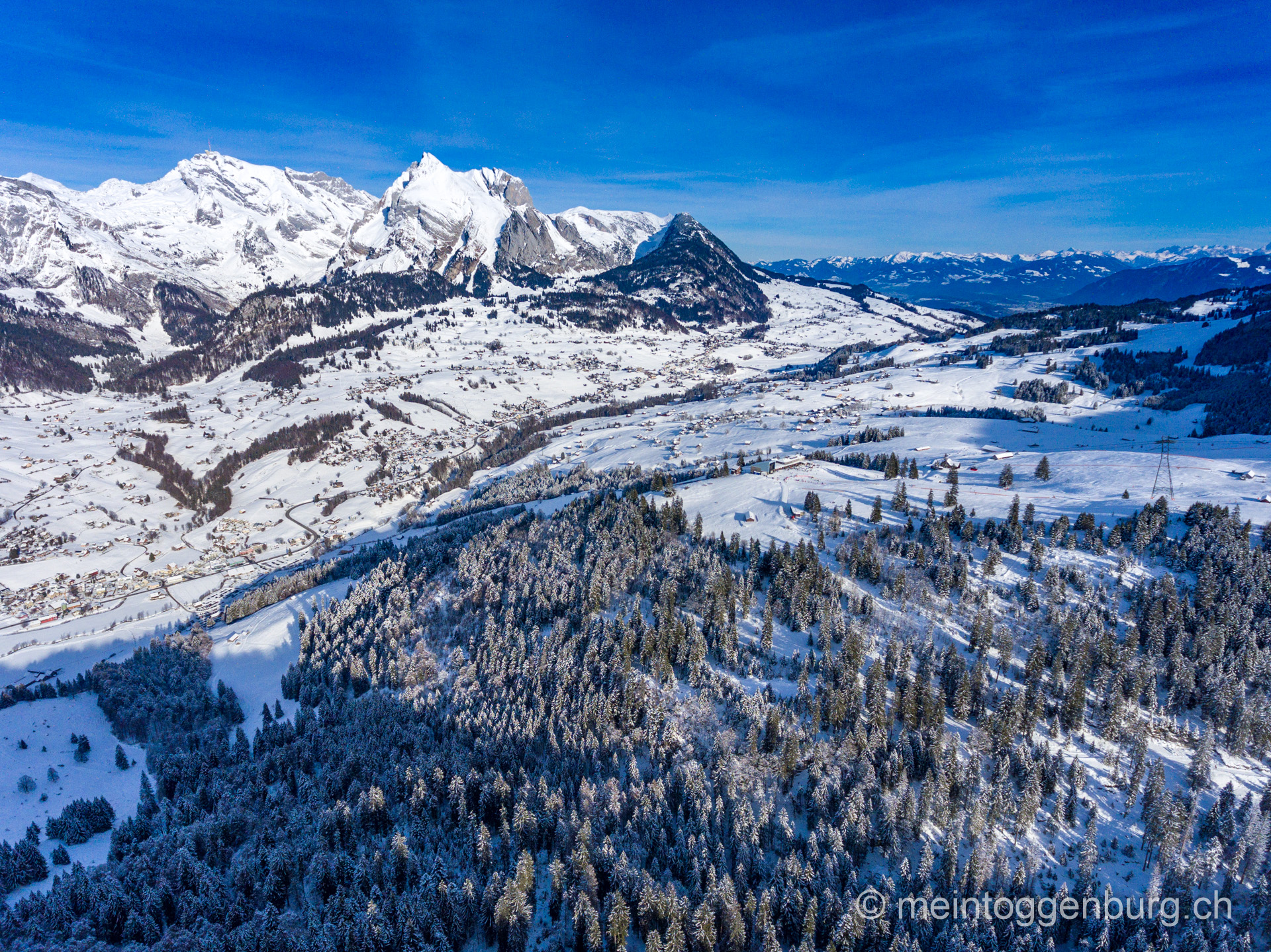
Wandern von Klangstation zu Klangstation
Diese Seite ist noch im Aufbau…

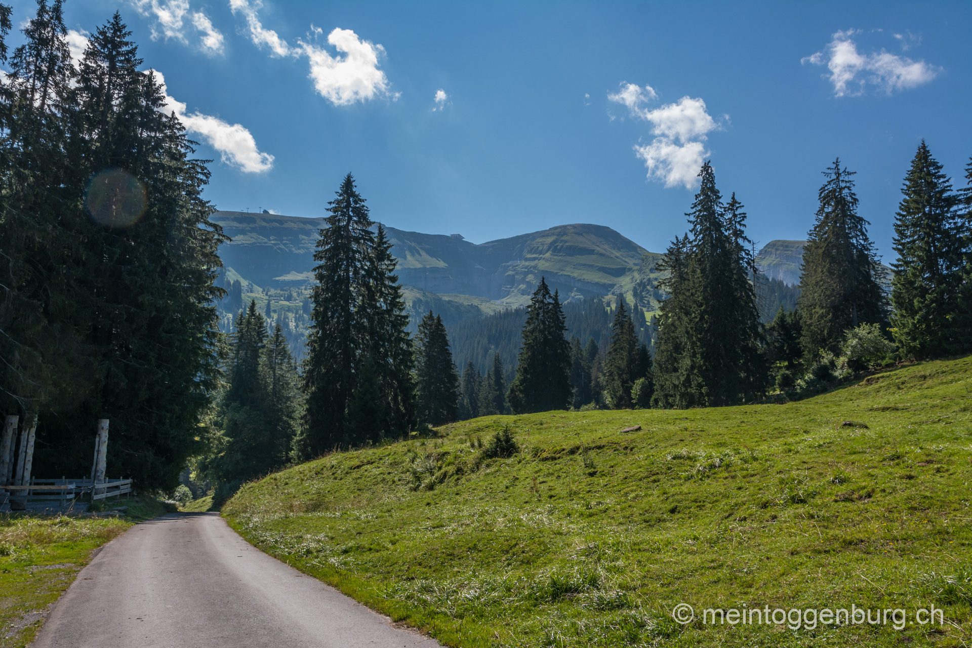

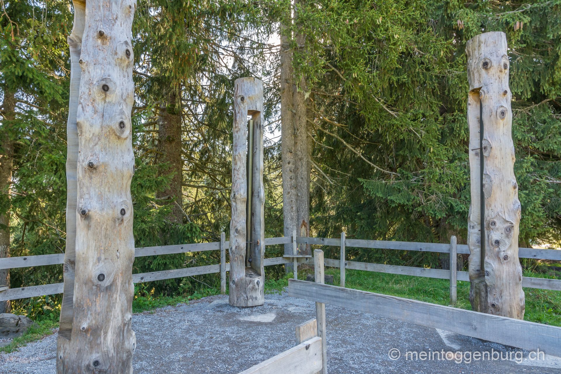


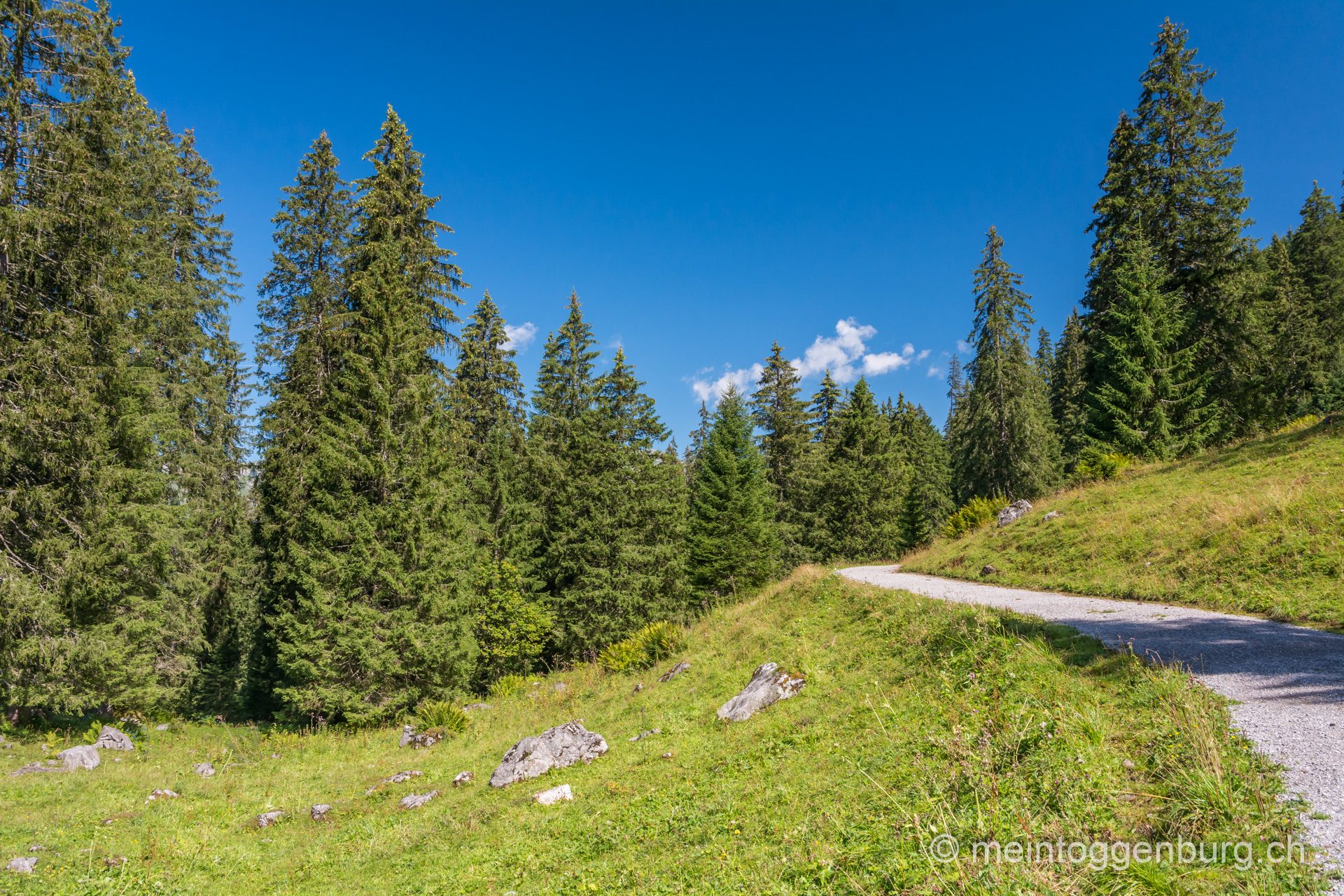

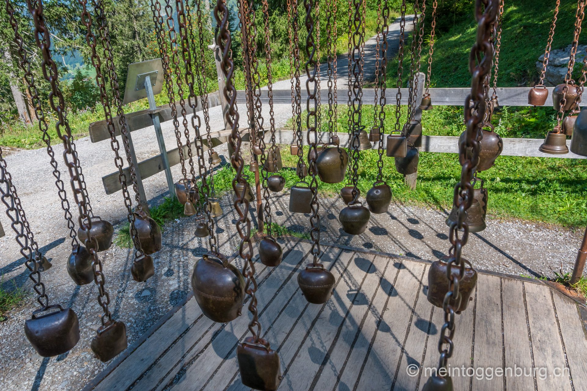

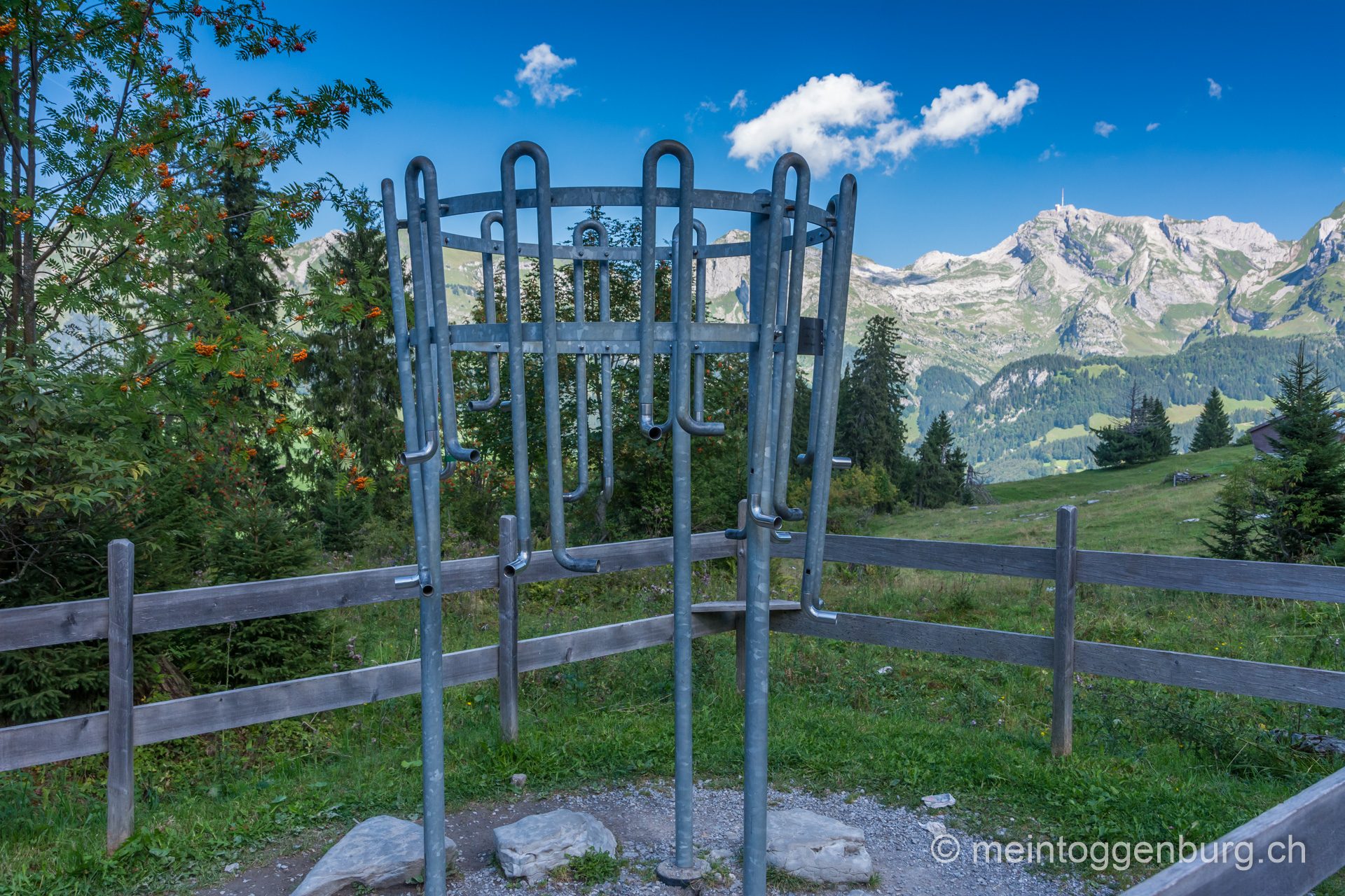
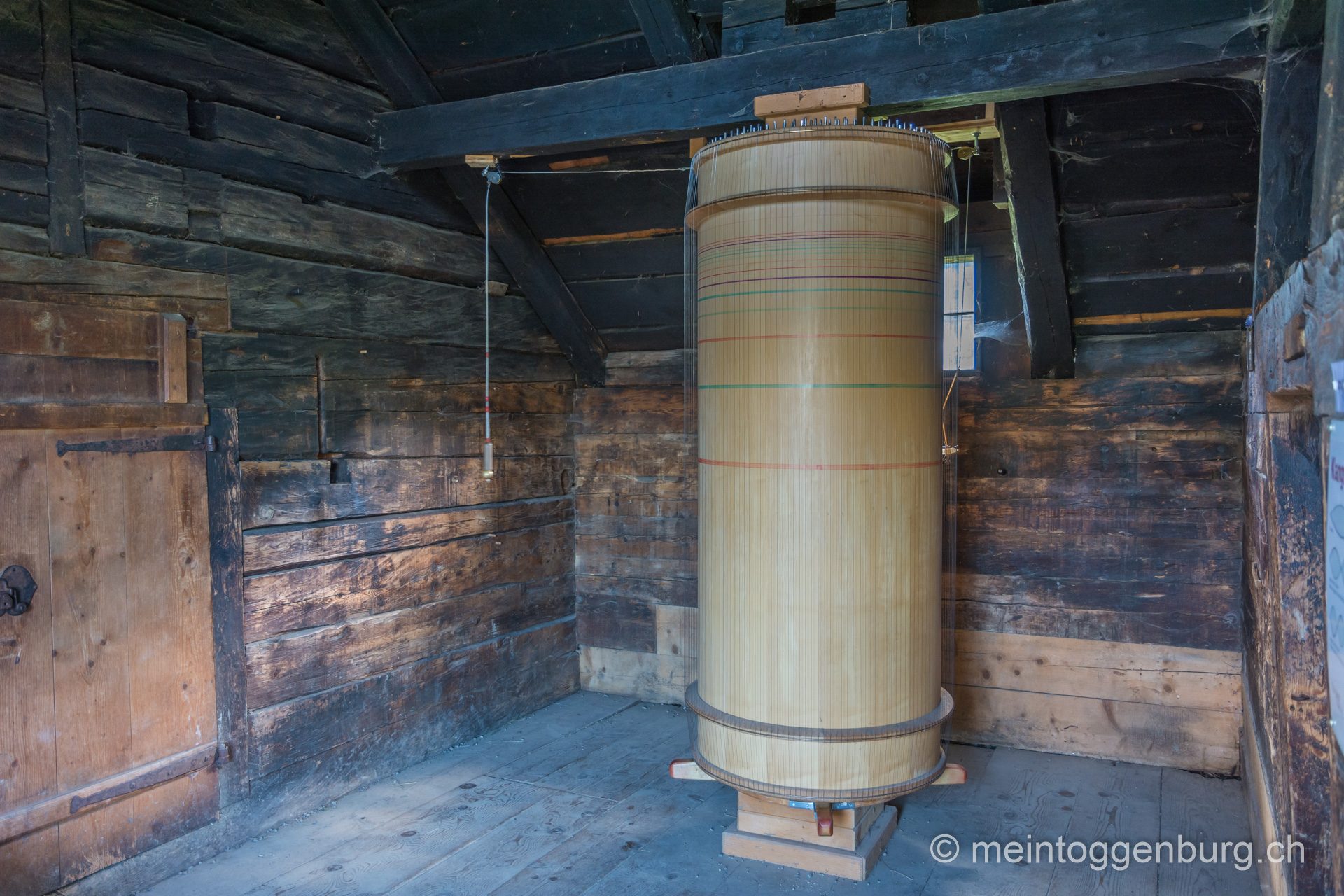
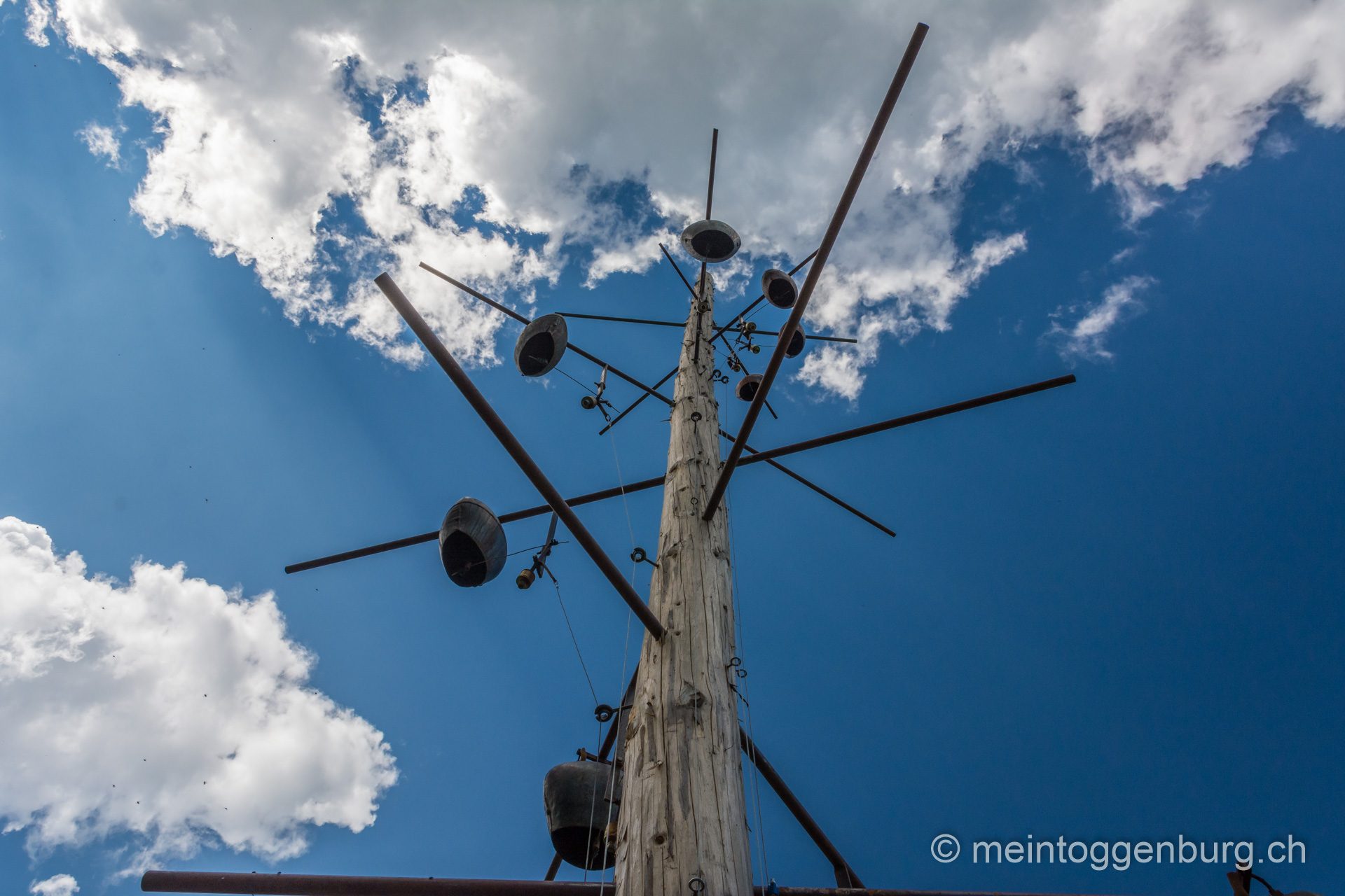
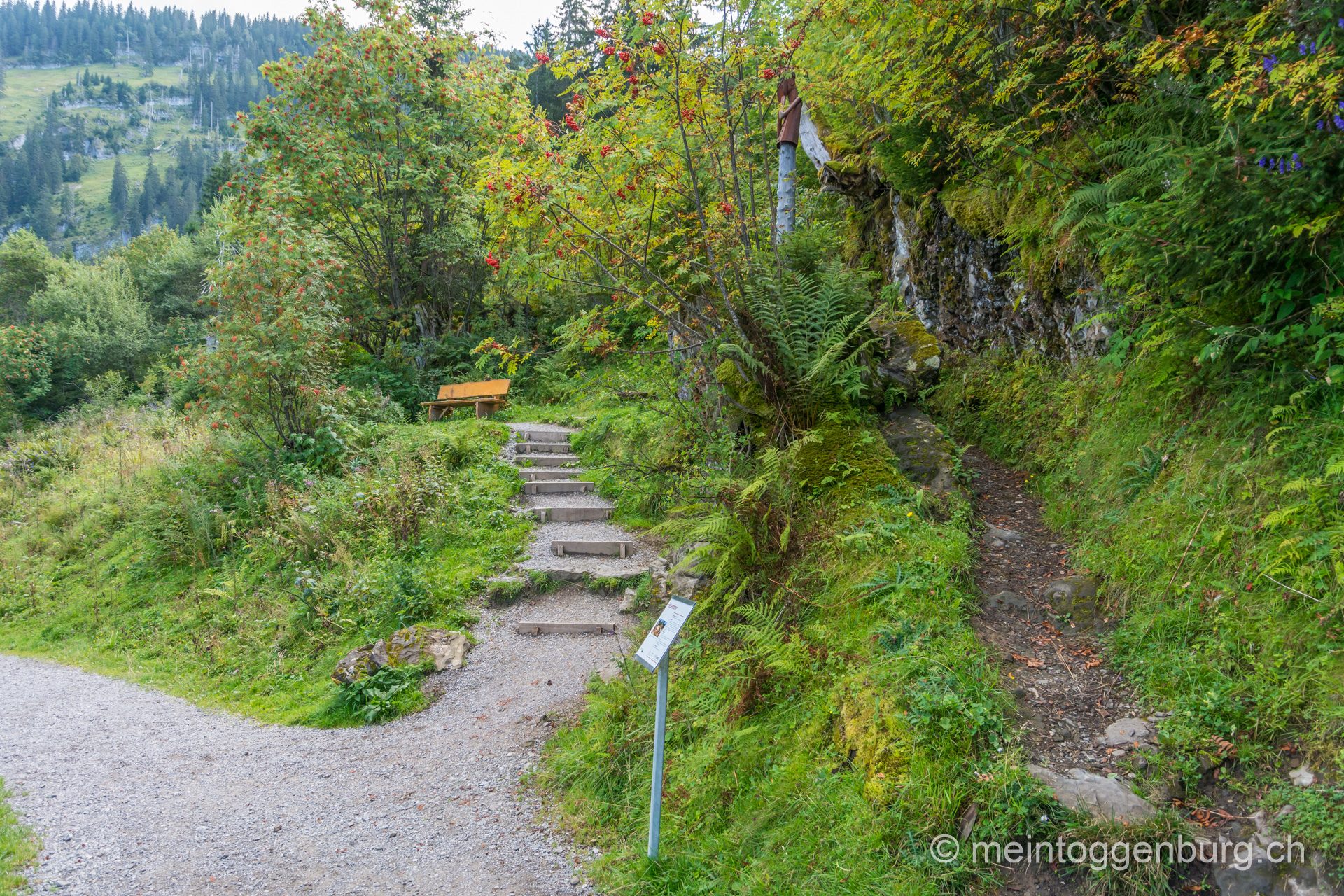
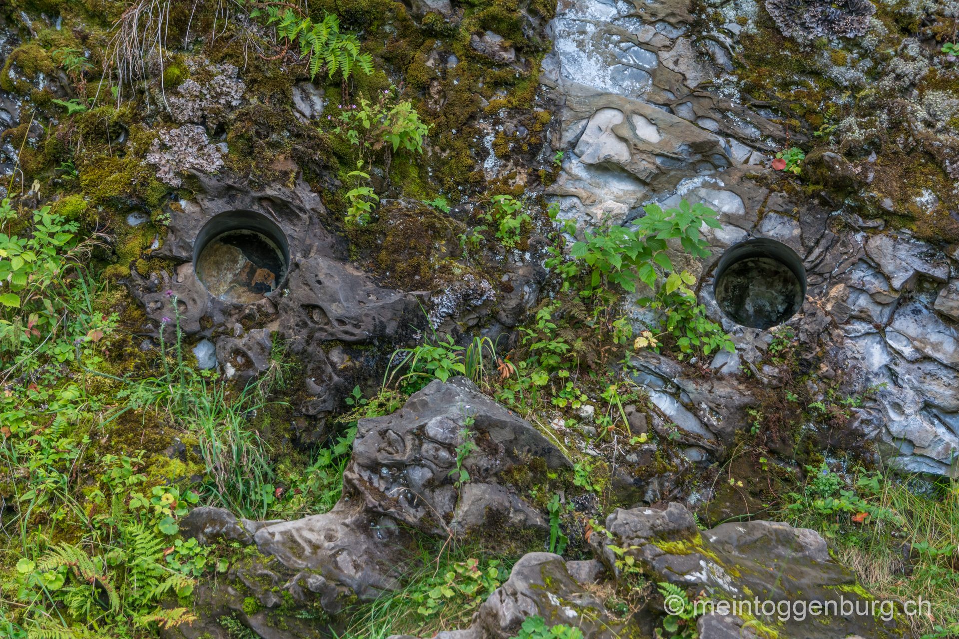
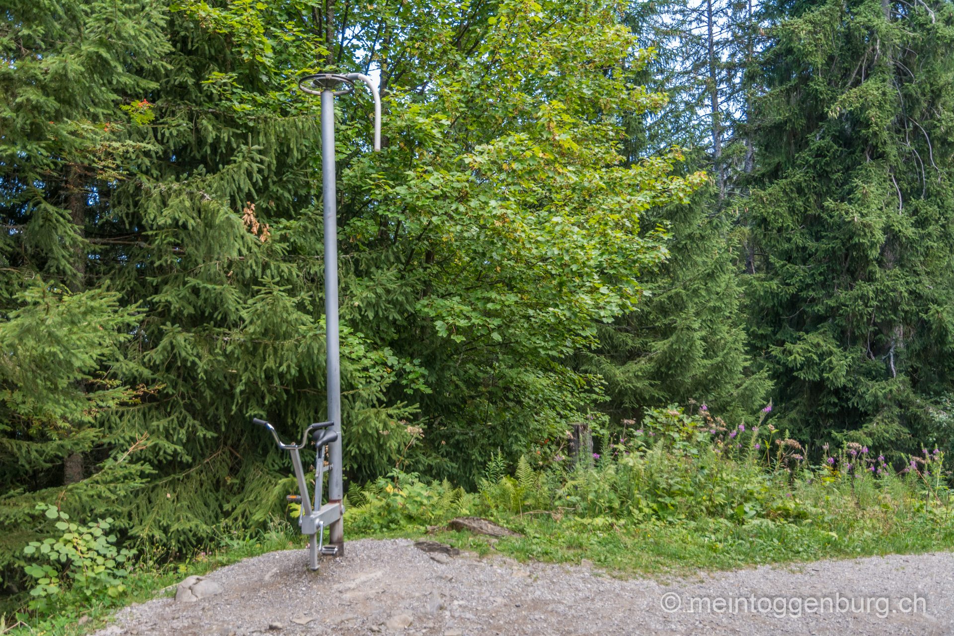
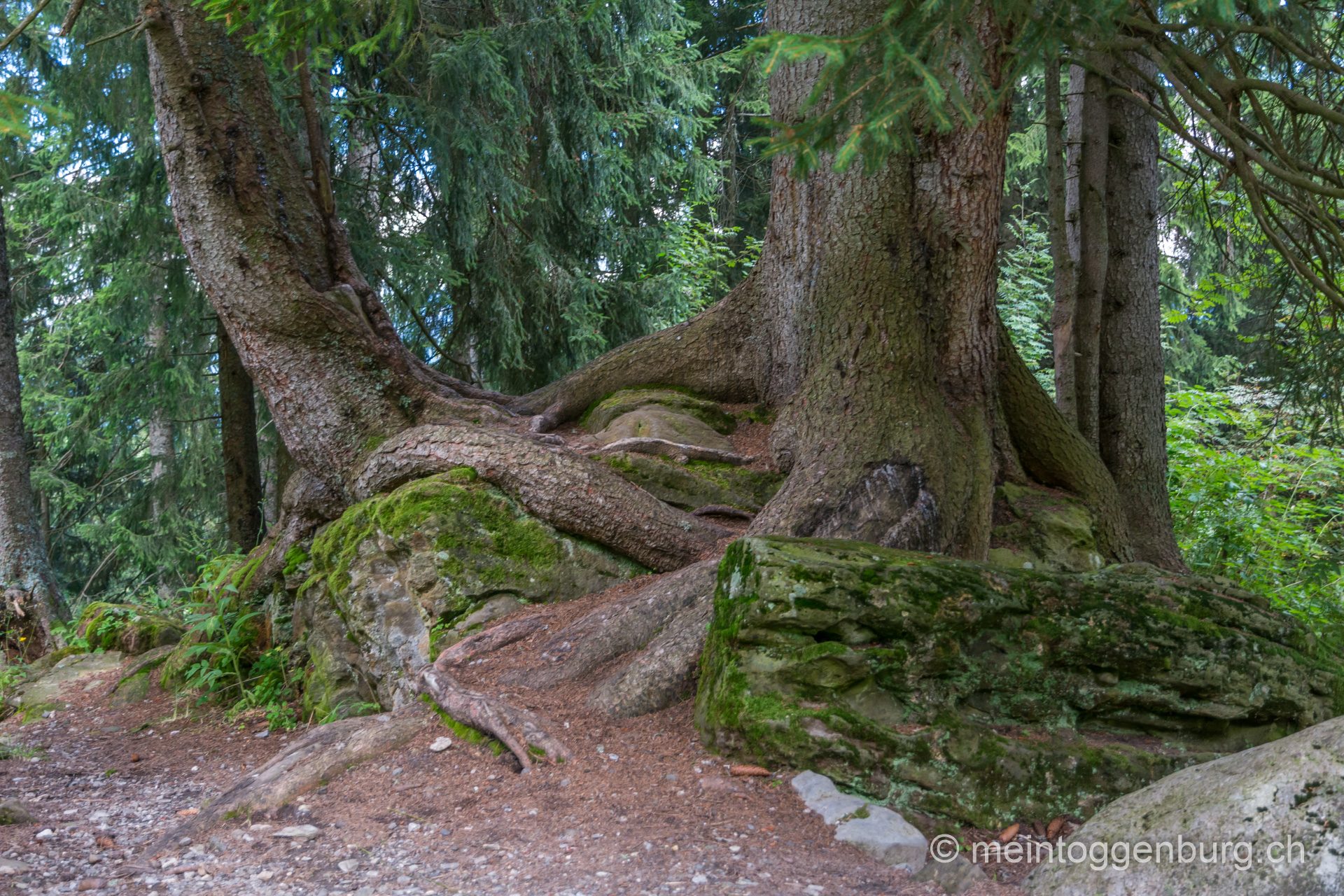
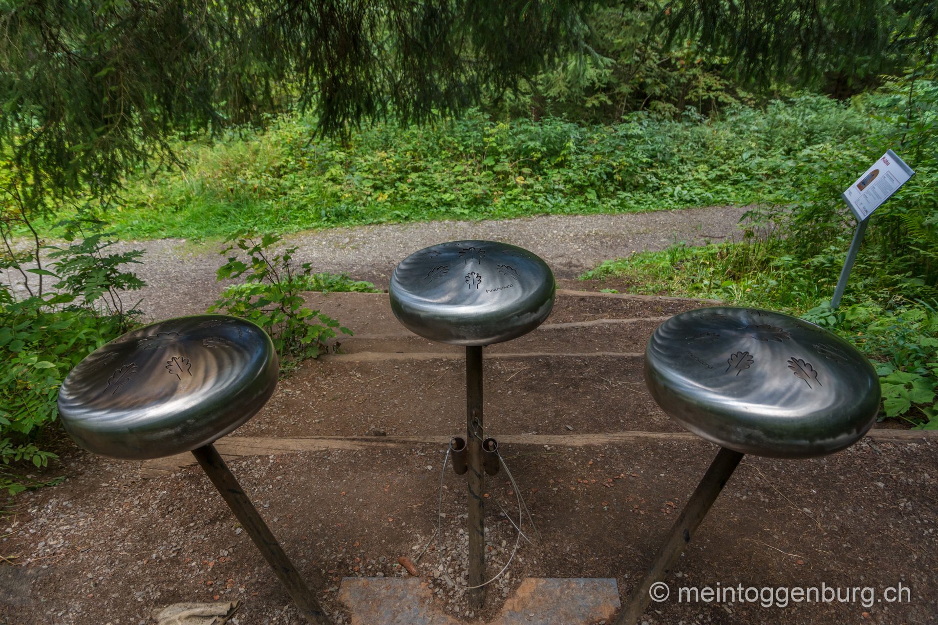


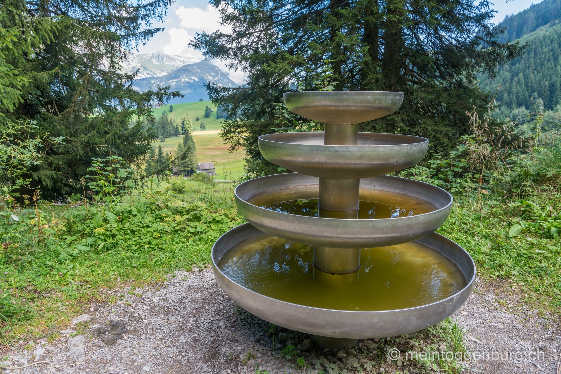

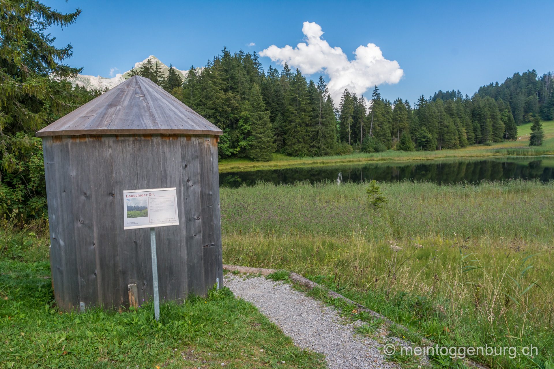


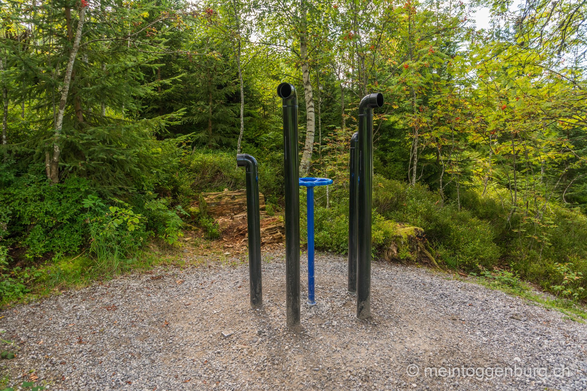
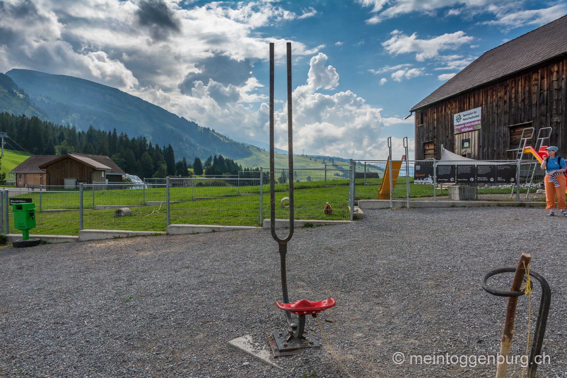
Beschreibung
Karte wird geladen - bitte warten...
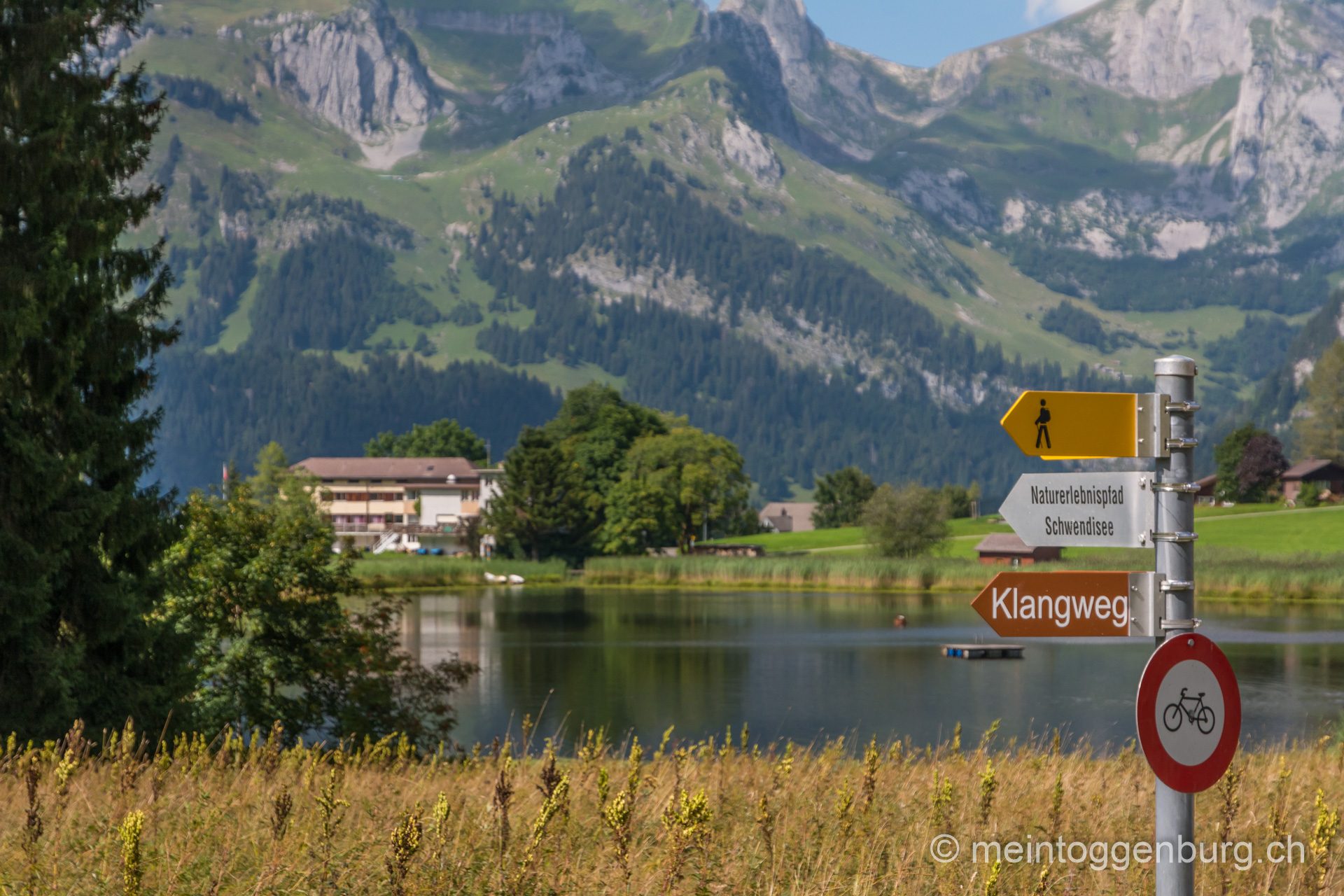
Distanz: 0.7 km Grillplatz Schwendiseen 1+2 anschauen 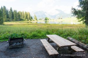 | |
Distanz: 0.8 km Grillplatz Schwendisee 3+4 anschauen 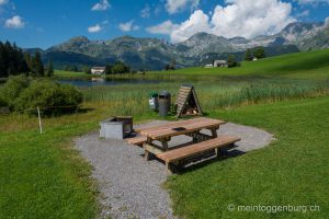 | |
Distanz: 0.9 km 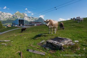 | |
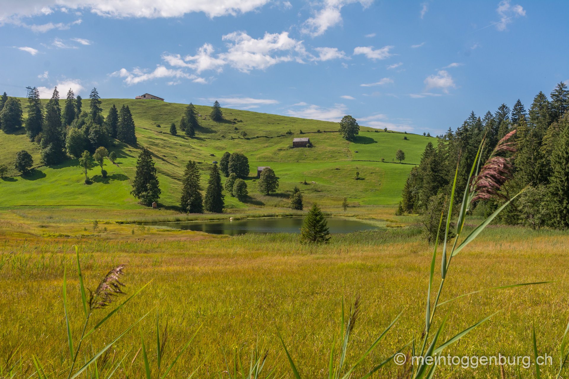
Distanz: 0.9 km Grillplatz Dunkelboden anschauen 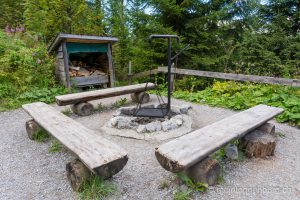 | |
Distanz: 1.3 km Grillplatz Gerstenboden anschauen 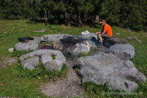 | |
Distanz: 1.4 km Badi Unterwasser | |
Distanz: 1.9 km Grillplatz Zinggen/Sellamatt anschauen 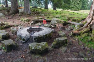 | |
Distanz: 2 km Bergstation Gondel-Sessel-Bahn Alt St. Johann - Sellamatt | |
Distanz: 2 km 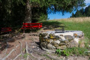 | |
Distanz: 2.6 km Grillplatz Sellamattbahn anschauen 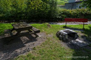 | |
Distanz: 2.7 km Talstation Gonde-Sessel-Bahn Alt St. Johann - Sellamatt | |
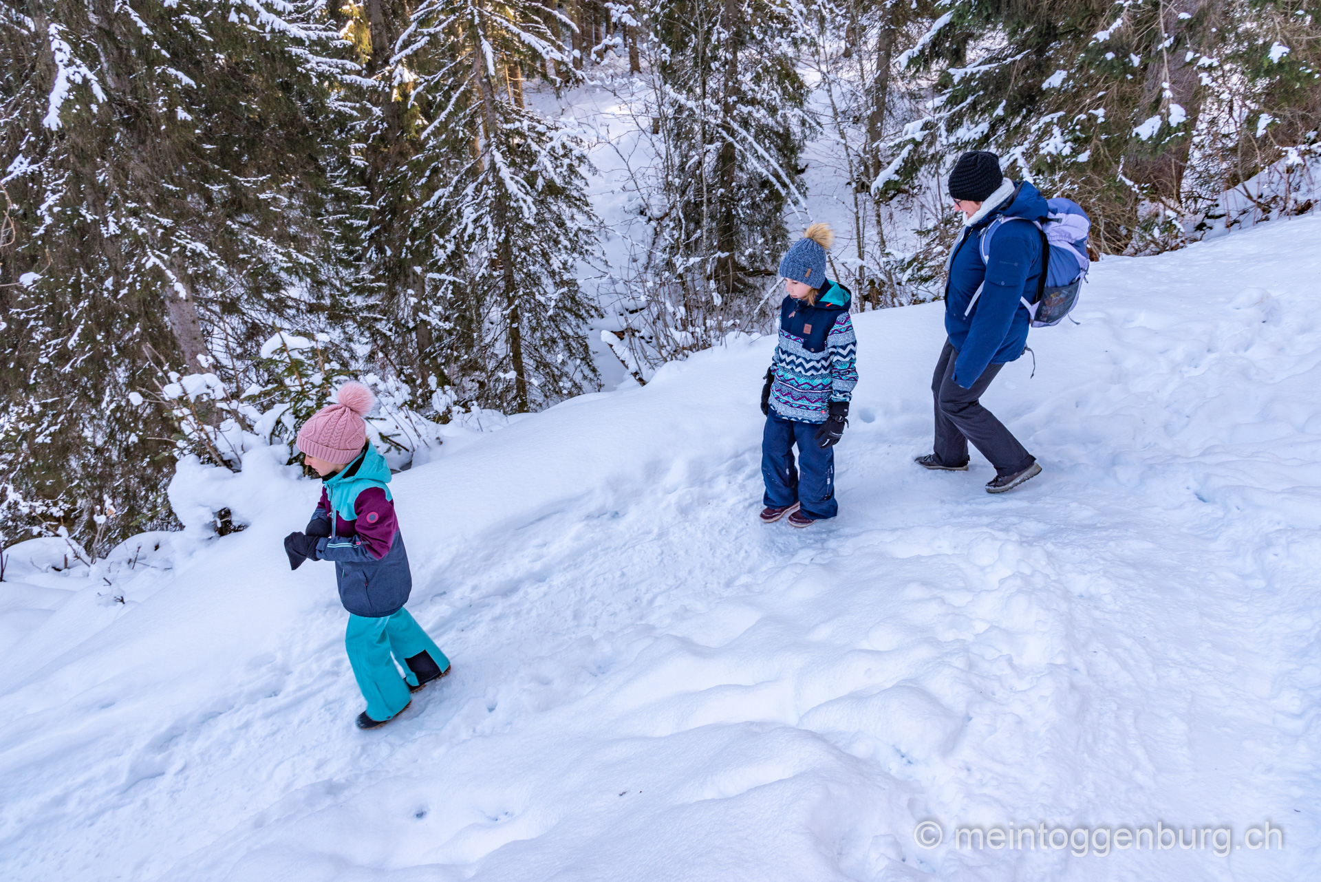
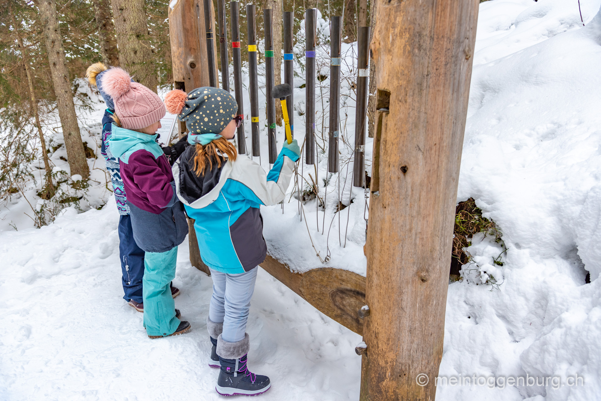
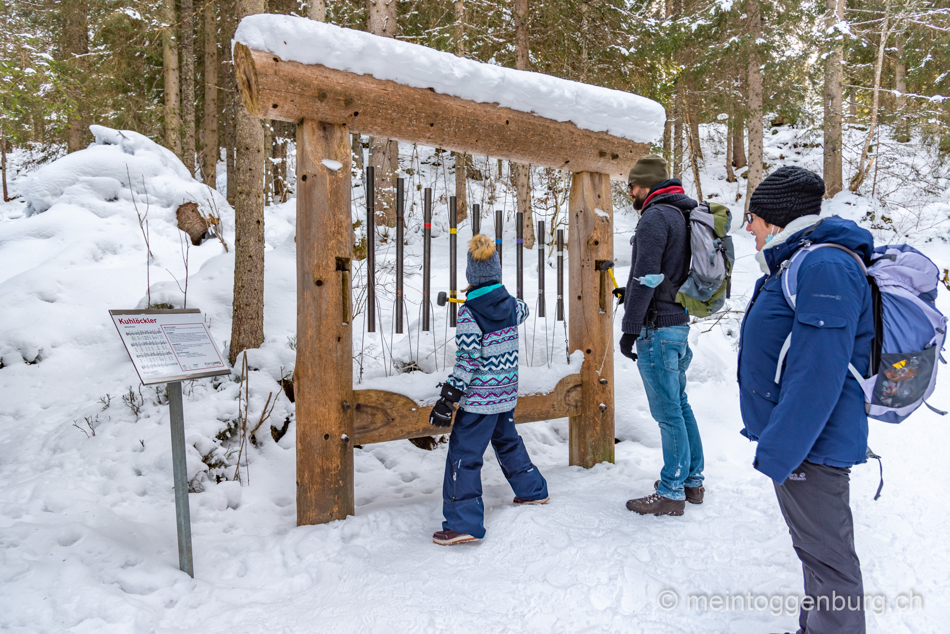
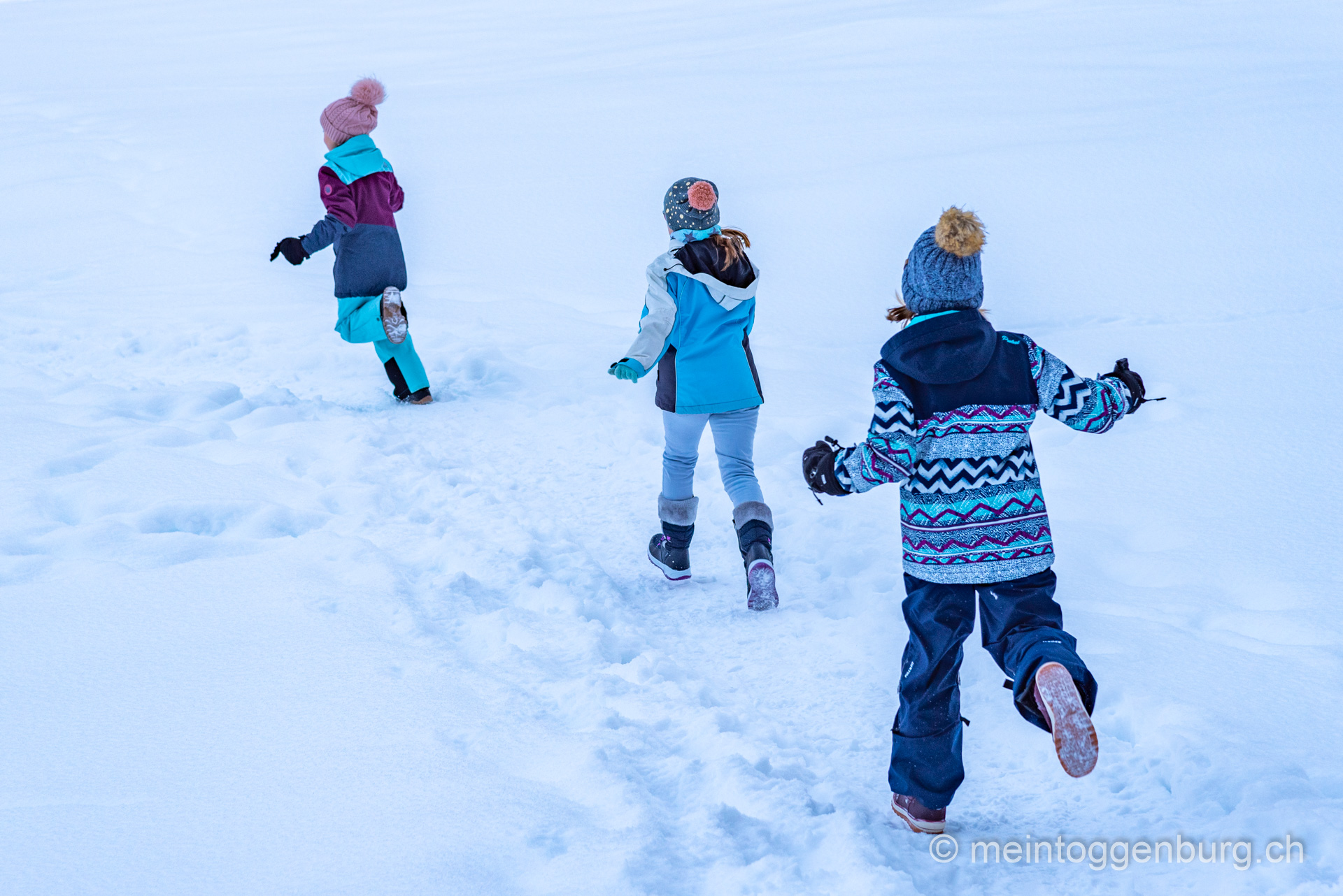
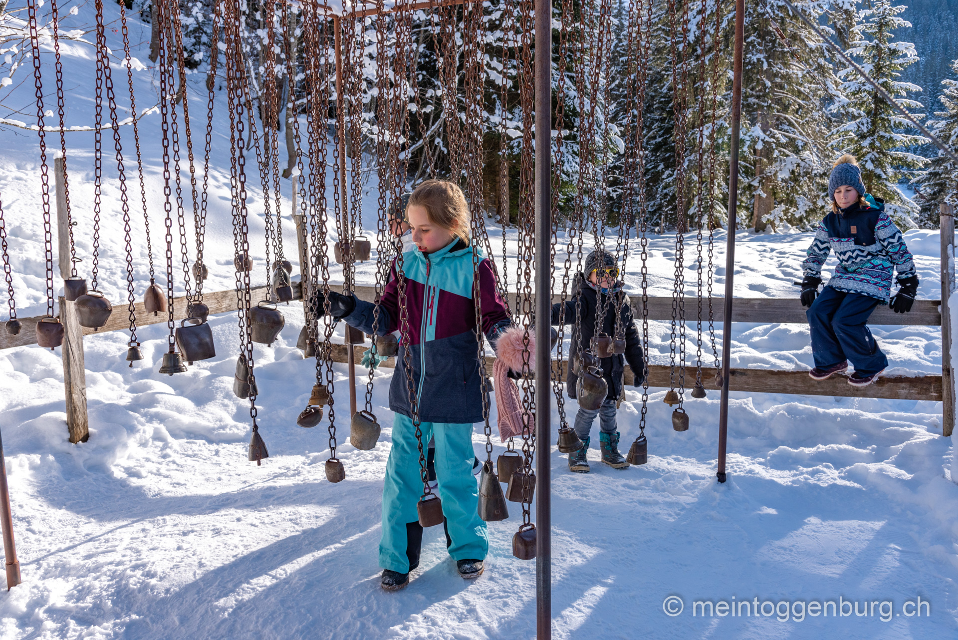
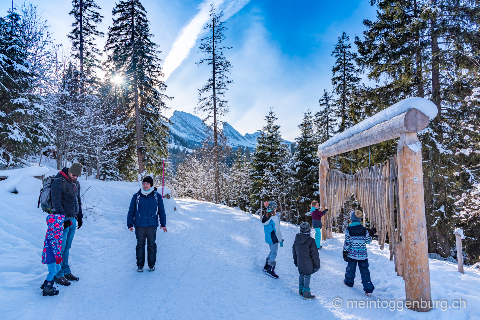
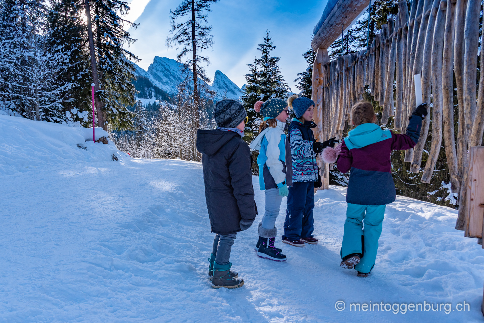
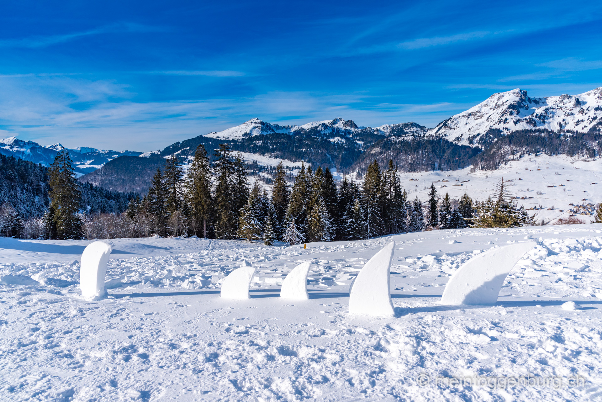
Klangweg im Winter


Facts


Alp Sellamatt – Iltios: 45 Minuten
mit Erlebnis Klangstationen: 1 h 30 min
(Klangstationen 1 bis 7)
Iltios – Oberdorf: 1 h 45 min
mit Erlebnis Klangstationen: 3 h 30 min
(Klangstationen 8 bis 13 und 19 bis 26
Zusatzschlaufe Schwendiseen: 30 min
mit Erlebnis Klangstationen: 1 h
(Klangstationen 14 – 18)
Total: 3 h
Total mit Erlebnis Klangstationen: 6 h

Alp Sellamatt – Iltios: 2.5 km
Iltios – Oberdorf: 3.5 km
Zusatzschlaufe Schwendiseen: 1.5 km
Total: 7 km

132 m (ganzer Weg)

291 m (ganzer Weg)

T1 (leicht)

Leicht

Alp Sellamatt – Iltios: ab 4 Jahren
Iltios – Oberdorf: ab 6 Jahren

Nur Etappe Alp Sellamatt – Iltios

Bergstation Goldelbahn Alt St. Johann – Alp Sellamatt

Alt St. Johann, Dorf

Talstation Bergbahn Alt St. Johann – Sellamatt

- Berggasthaus Sellamat
- Berggasthaus Iltios
- Seegrütli
- Berggasthaus Oberdorf

- Badi Unterwasser